

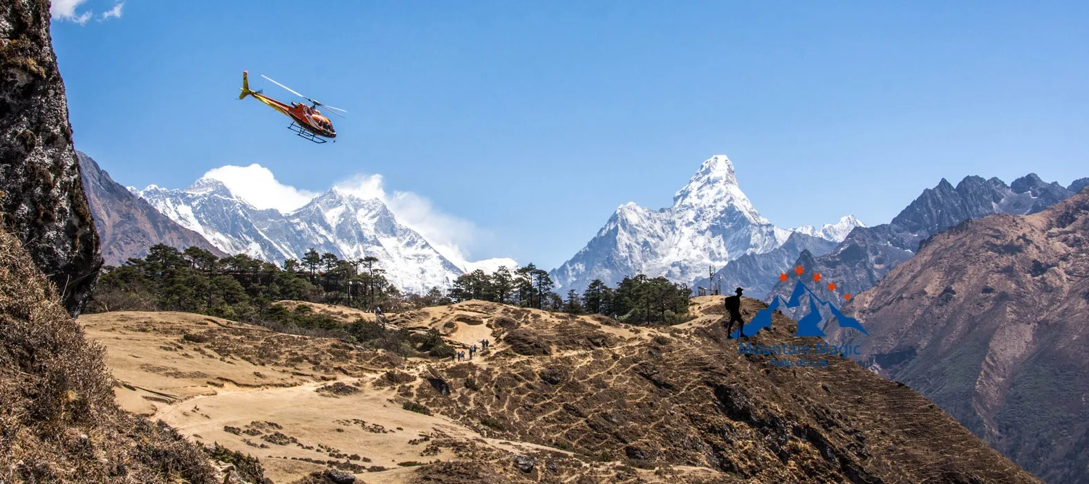
The trekking route toward Everest Base Camp is shaped by more than mountains and valleys. Along the paths, travelers encounter stone walls, carved rocks, painted signs, and small structures that help define the landscape. These features are part of everyday life in the Khumbu region and reflect the way local communities have adapted to mountain travel.
During the Everest Base Camp Trek with Helicopter Return, these details become visible while walking between villages such as Phakding, Namche Bazaar, Tengboche, and Dingboche. They may look like simple parts of the trail, but many serve practical or cultural purposes. Understanding them adds another layer of meaning to the journey.
Why Stone Walls Appear Along the Trekking Route
Stone is one of the most available building materials in many parts of the Khumbu region. Local people use it for walls, building foundations, paths, and boundary structures.
Along trekking trails, stone walls often separate walking routes from fields, buildings, or areas used by animals. They also help define the edges of settlements.
How These Walls Support Mountain Life
Stone walls can serve several purposes:
- Marking boundaries around land and buildings.
- Protecting cultivated areas from animals.
- Supporting sections of raised pathways.
- Creating barriers beside narrow trails.
- Helping organize spaces around mountain homes.
Their design is usually practical. Stones are arranged to create a stable structure using materials available nearby.
Mani Walls and Their Cultural Meaning
One of the most recognizable features along Himalayan trekking routes is the mani wall. These stone structures often contain carved Buddhist prayers, sacred words, or religious symbols.
They are connected with local Buddhist traditions and are treated with respect by many people in the region.
Travelers may see mani walls beside village paths, near monasteries, and along sections of the trail.
Why Trekkers Should Walk Around Them
A common local custom is to pass mani walls on the left, keeping them to the right side while walking in the direction of travel. This follows a traditional clockwise practice.
Guides can explain local customs at specific locations. Visitors should avoid climbing on these structures, moving stones, or touching carvings unnecessarily.
Trail Markers Help Travelers Understand the Route
The route through the Khumbu region includes many junctions, village entrances, and changes in direction. Markers and signs can help travelers identify destinations and follow the correct path.
Some signs display settlement names or distances. Others provide information about national park rules, local facilities, or trekking routes.
Do Not Depend on Signs Alone
Mountain trails can change because of weather, construction, or local conditions. A sign may not explain every turn or temporary change in the route.
For this reason, trekkers should remain with their guide and follow the planned itinerary instead of choosing unfamiliar paths based on a marker alone.
Stone Pathways and Steps Around Mountain Settlements
Many walking sections in the Khumbu region include stone steps and paved sections. These paths help people move through steep or uneven terrain.
In villages, stone paving can also reduce loose soil and create a more defined walking surface.
However, stone paths are not always smooth. Some steps are high, some stones are uneven, and rain or melting snow can make surfaces slippery.
Walking Carefully on Uneven Stone
Use a steady pace and look ahead when moving through paved sections. Trekking poles can help with balance, especially during descents.
Avoid stepping on loose stones or walking too close to the edge of raised paths. If a section looks slippery, follow your guide’s advice before crossing.
Traditional Structures Along the Phakding to Namche Route
The trail between Phakding and Namche Bazaar passes through villages, forested areas, and sections of the Dudh Koshi valley.
Along this route, trekkers may notice stone boundaries, small religious structures, and village pathways. These features show how local communities organize spaces around homes, farms, and transportation routes.
The trail is also used by residents and people carrying supplies. It is not simply a path built for visitors.
Respect Shared Community Spaces
When passing through settlements, keep noise low near homes and religious sites. Do not enter private areas or photograph people without permission.
Following these basic habits helps maintain a respectful relationship with the communities that make the trekking route possible.
How Traditional Trail Features Continue Toward Tengboche
After Namche Bazaar, the route continues through forested slopes and settlements before reaching Tengboche.
The landscape changes as trekkers move higher. Stone steps, retaining walls, and marked paths help connect different sections of the trail.
Near Tengboche, religious structures become an important part of the surroundings. The monastery is a well-known cultural site, and visitors should follow its entry and photography rules.
Respect Signs Near Religious Places
Some areas may have restrictions on photography, footwear, or access. These instructions can vary by location.
A guide can explain what is appropriate before entering a monastery or other religious building.
What Changes as the Route Reaches Higher Villages?
Beyond Tengboche, the trail continues toward Pangboche and Dingboche. Settlements become more spread out, and the surrounding landscape gradually becomes more open and rugged.
Stone structures remain useful because wood and other construction materials may be harder to transport to remote locations.
Trekkers may notice walls around homes, livestock areas, and buildings. These structures are part of the practical design of mountain settlements.
A Different Building Environment at Higher Elevations
As the route climbs, construction must account for cold temperatures, strong winds, and seasonal snowfall. Local buildings are designed around these conditions and the materials that can be brought to each settlement.
These details help explain why traditional mountain architecture often looks different from buildings in lower towns.
Protecting the Cultural Features Along the Route
Stone walls, mani walls, prayer structures, and trail markers are part of the region’s cultural and practical landscape. They should be treated with care.
Travelers can help protect them by following a few simple rules:
- Never remove stones from walls or religious structures.
- Avoid writing names or messages on rocks.
- Do not climb on mani walls or sacred objects.
- Follow local instructions around monasteries.
- Keep rubbish away from village paths.
- Ask before photographing residents or private property.
Responsible behavior is important throughout the Everest Base Camp Trek with Helicopter Return, especially in communities where traditional structures remain part of daily life.
Final Thoughts
Stone walls, carved mani stones, and trail markers reveal how people have shaped the Khumbu region over generations. They help organize settlements, guide movement, protect property, and preserve cultural traditions.
As trekkers move from Lukla through Phakding, Namche Bazaar, Tengboche, and Dingboche, these features become part of the experience. Taking time to notice them gives travelers a better understanding of the communities and landscapes surrounding the route to Everest Base Camp.
Frequently Asked Questions
1. What is a mani wall?
A mani wall is a stone structure containing Buddhist prayers, sacred words, or religious carvings.
2. Which side should trekkers pass a mani wall?
The traditional practice is to pass it on the left, keeping the structure to the right.
3. Why are stone walls common in the Khumbu region?
Stone is locally available and useful for building boundaries, foundations, pathways, and protective walls.
4. Are trail markers enough to navigate the route?
No. Markers provide useful information, but trekkers should follow their guide and the planned route.
5. Can visitors photograph religious structures?
Photography rules depend on the location. Visitors should check local signs and ask for permission when necessary.